


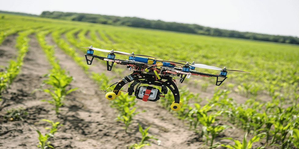
According to a press release issued by the Ministry of Civil Aviation (MoCA), drones can now be used for remote sensing data collection in agricultural areas of hundred districts for gramme panchayat level yield estimation under the Pradhan Mantri Fasal Bima Yojana (PMFBY).
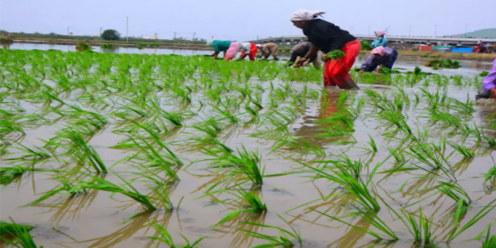
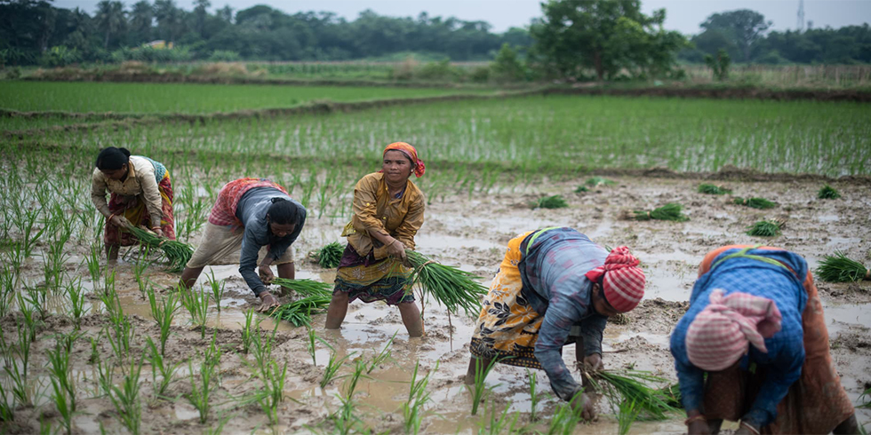
PMFBY is a government-sponsored farm yield insurance programme that covers losses from the pre-sowing to the post-harvest stages of the cropping cycle.
The Ministry of Agriculture and Farmers Welfare (MoAFW) was given a conditional exemption for the use of Remotely Piloted Aircraft Systems (RPAS) by the MoCA and the civil aviation regulator.
It stated that the exemption will be valid for one year from the date of the permission letter's issuance or until the Digital Sky Platform's operationalization, whichever comes first.
Kochi Metro Rail received a similar conditional exemption for its Integrated Urban Regeneration and Water Transport System Project (IURWTS) earlier this week. According to the ministry, these exemptions are only applicable if all requirements and restrictions are strictly followed.
Prior to operating drones, the local government, ministry of defence, ministry of home affairs, and Indian Air Force and Airport Authority of India must all obtain requisite clearances.
Only educated, skilled, and genuine staff will be allowed to operate the RPAS, according to the agriculture ministry. To operate near an airport, you must first obtain approval from the Airports Authority of India (AAI).
It stated that in the event of an incident or accident at any phase of the operations, reports must be sent to the Directorate General of Civil Aviation's Air Safety Directorate.


Add Comment